Projects
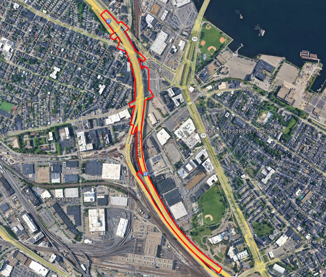
MassDOT I-93 Bridge Replacement Project
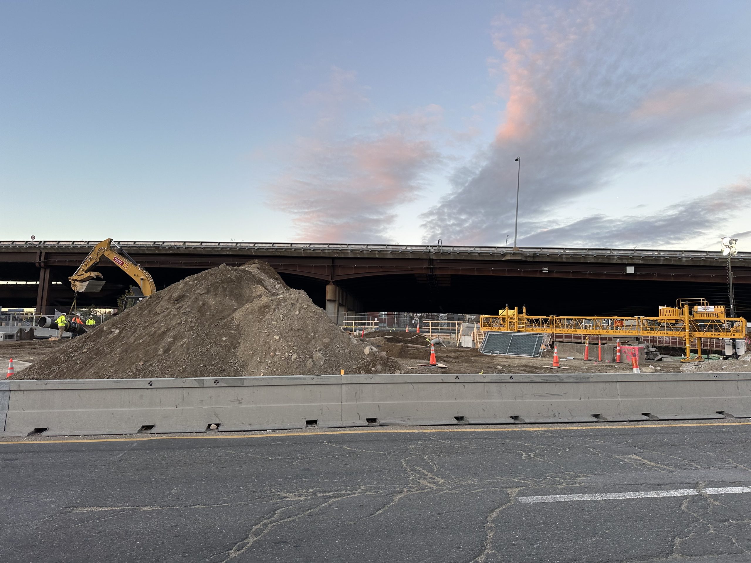
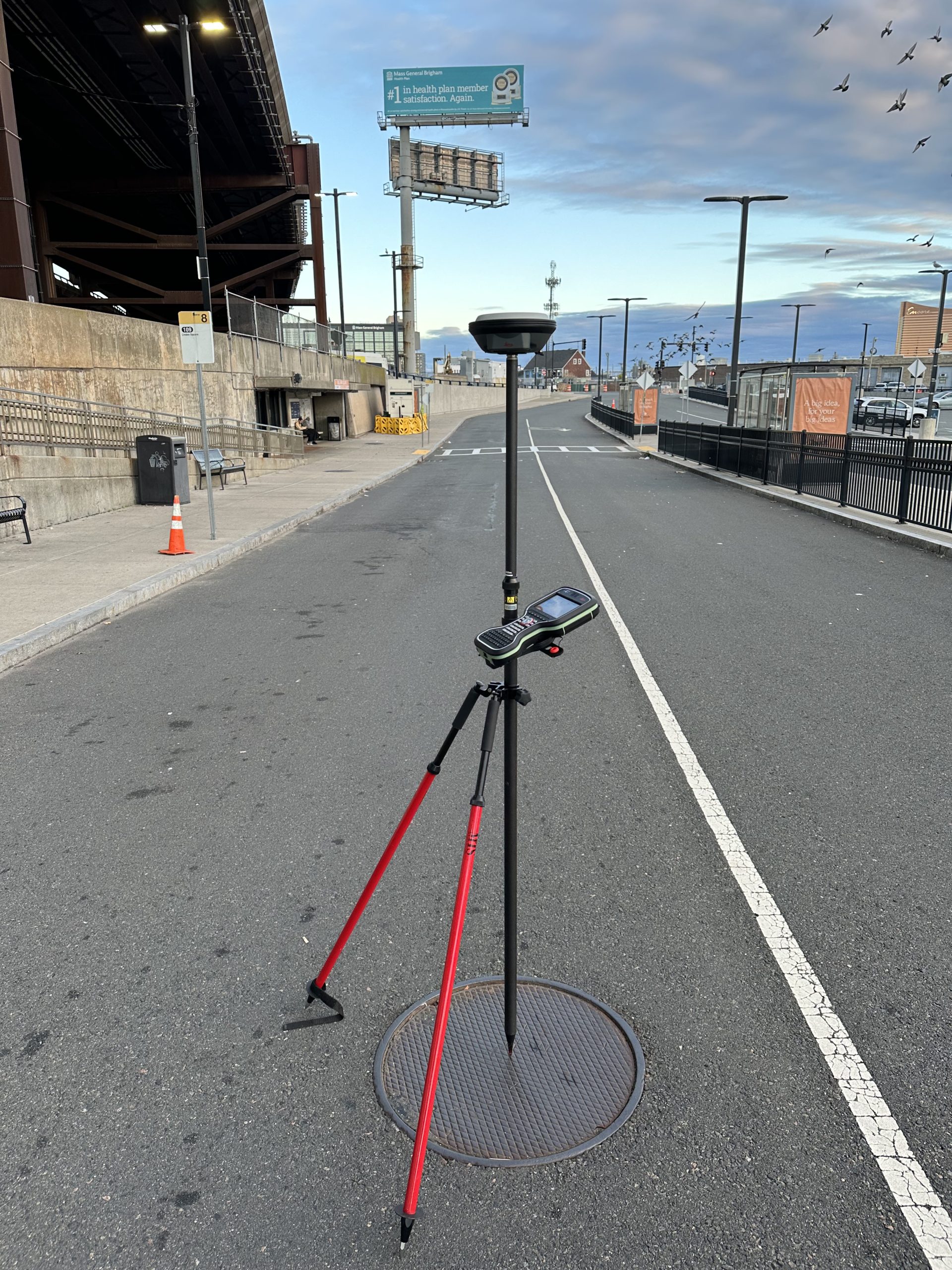
Brennan Consulting is conducting an existing conditions and ROW route survey of approximately 11,430 feet of Interstate 93 (NB and SB), located over various surface terrain, streets, and MBTA railroad tracks. The project limits extend the entire length of bridge B-16-281. Aerial photogrammetry and mobile terrestrial LiDAR are being utilized to provide the bulk of the existing conditions base map. The LiDAR survey will provide accurate elevations on the paved surfaces. The traditional on the ground survey will provide survey control for the project, survey in areas obscured by vegetation and overhead bridges, utility structure investigation, and locating right of way monumentation.
Field reconnaissance is being conducted to locate existing right-of-way monuments and surveying the position of any found monuments. Using state and city layout plans, along with private property plans of record, we are plotting the existing right-of-way lines onto the base map. We are also adding abutting private property lines from GIS and assessor data and labeling each parcel with the corresponding owner information.
An existing conditions base map is being prepared using data from the aerial photogrammetry survey, mobile terrestrial LiDAR survey and ground survey. The base map will show pavement limits, fences, guardrail, vegetation, pavement markings, visible utility structures, signs, traffic signals, curbing, sidewalks, walls, and other miscellaneous existing features within the project limits. The base map is being prepared in AutoCAD Civil 3D 2012 in accordance with MassDOT’s 2012 CAD Standards. Prepare the base map at 20 scale with 1’ contours. Work is ongoing.